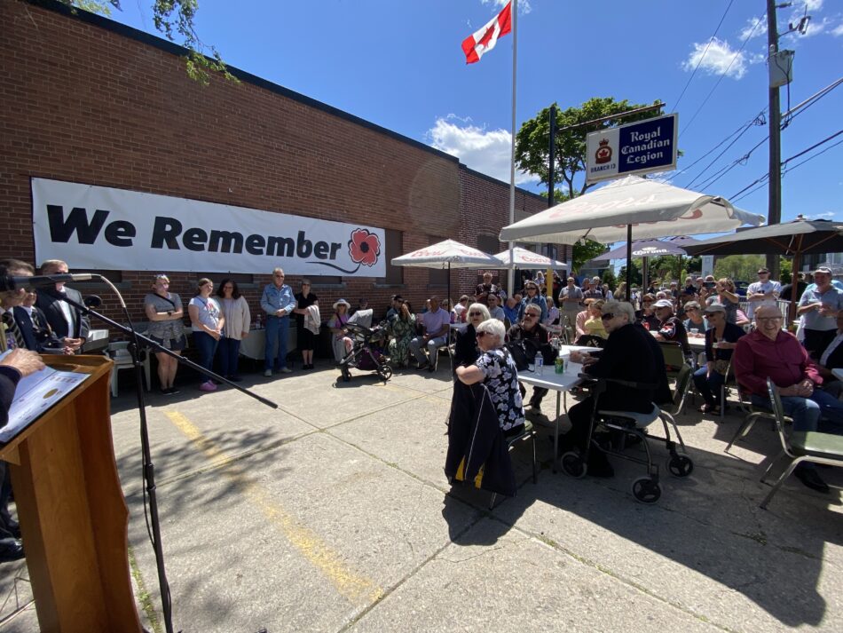
Our Photo of the Day for November 14, 2012 is actually a drawing as opposed to a photo.
It’s an artistic rendering of the interchange at Kingston Road and Danforth Avenue, which was built in 1937.
The image depicts the Scarborough Cenotaph, Rosetta McClain Gardens, The White Castle Inn as well as the land where Birchmount Collegiate and Variety Village were later built.
At the bottom of the page, in the middle, there’s something that Vintage Toronto (where I found the photo) refers to as “The Sugar Bowl”. Does anyone have any idea what this refers to?

Artistic rendering of Danforth and Kingston Road
The Sugarbowl is an indentation in the green space south of Highview at the foot of Kennedy Road where generations of Birchcliffers have toboganned. It’s part of a small parcel of land north of Danforth Avenue, across from Variety Village, that the City has been considering transferring to Build Toronto for potential development. Local residents are strongly opposed and Councillor Gary Crawford has said he will work to prevent it.
Thank you!
Thank you for being part of this website. It’s wonderful.
Jacqueline
Used to live on Highview, and totally agree with your comments on not building on that green space, it is beautiful.
When I was a kid we went tobogganing there we called it the bowl
I agree with Minna, and concur with her explanation of the Sugar Bowl.
I have tobogganed there. More important for me is the creek at the top of the picture which is Trout Creek. I have been trying to confirm it’s location for a while. yes at one time Trout did climb up the bluffs to spawn in a pond at the top!! (Maybe the Sugar Bowl?)
The hill on Kingston Road at Glen Everest rd running up to where it joins with Danforth is known as Trout Hill.
http://scarboroughhistorical.ca/?events_tags=trouts-hill
http://scarboroughhistorical.ca/?events_tags=t-t-c
Would love more info if you have any!
Trout climbed the bluffs in a creek to spawn??? It sounds unbelievable given our landscape today but your links from the 1920’s clearly support that it was known as “Trout’s Hill”. I googled it and found nothing. Not sure what river you are pointing to at the top of the map. Think we need to have coffee and discuss further?
I think that Trout’s hill was named after the Trout family. I saw something in Jane Fairburn’s book, Along the Shore; an excellent read that includes plenty about Birch Cliff and Cliffside. Sorry it took me so long to find the post.
Karin,
So nice to think and remember these old landmarks.
I can still see you searching for furniture for the Holly and the Ivy.
Such lovely memories.
Jackie
OMG, Jackie! What a trip down memory lane hearing from you. Are you in Toronto? I would love to see you. Contact me at Mural Routes – karin@muralroutes.com
Michael,
It’s been three years since you left this comment. I’ve come back to it because I’m doing some research on Trout’s Hill.
Can you please email me so we can talk further? birchcliffnews@gmail.com.
Thanks.